After a wam farewell to Deklan who was off to the Colombian coast, we hopped on board a bus to Cuenca - a UNESCO Heritage site (we're fond of those!) in the higher regions in Southern Ecuador. The buildings in the city are beautiful, the streets lean in on each other and are littered with balconies, and we found a hostel with a huge kitchen (including a blender and a sandwich toaster, so we were very happy!). The city has two cathedrals, one old and one new - and it was here I snapped one of my finest photographs - the portrayal of graffiti on a cathedral, something I haven't really seen before.


We spent a day wandering around the city, and particularly enjoyed sitting watching the BMXers practice their jumps around a plaza. In the market buying our food supplies we even found these strangely pastel coloured eggs! The vibe of Cuenca was pretty busy, and every local we spoke to complained about the huge number of tourists cluttering their streets (we were with Charlie though, so decided not to feel guilty).

Also in the main city there is a small area of ruins - described as Inca, although only a very small percentage actually is Inca - and with no context at all - and with a busy city either side of the small walls - the ruins were pretty unimpressive! However, the next day we made our way for the day to the ruins of Ingapirca, which were the complete opposite. The largest Inca ruins in Ecuador, the most incredible structure is the Temple of the Sun, situated at the end of a small city of ruins. The temple was made so that on each of the solstices the sun would fall directly into the doorway (it amazes me how so long ago this type of architecture was possible - it is the same at all the Inca sites we have been to - the precision is astounding). The ruins are set out a bit like a castle, and is one of the first Inca ruins where a fully functioning acuaduct has been found which would have provided water for the whole compound.


After our tour we ventured in to the surrounding town of El Tambo, and were directed to a brilliant cliff face which looks remarkably like a face!


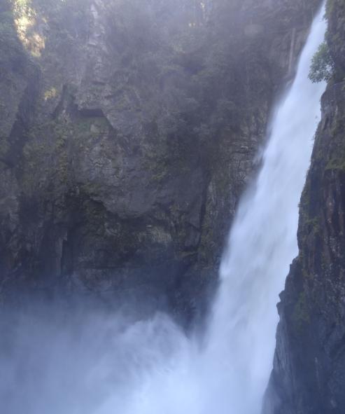
We found ourselves lost after about 15 minutes, but luckily Charlie was able to navigate the ginormous map we had been given (look at the picture, and our trail was about an inch squared of that. I do not jest) and we were back on track. The hike took us through a magical forest of papery trees, rock climbing up pretty sheer heights, strolling through meadows, trudging over the ridges of cliffs - and through some truly breathtaking viewpoints.


Our trail was pretty poorly marked along the way, and there were some points when I felt we were never going to get out alive...but eventually we came to the bottom of the mountain we had climbed, and began to make our way back to the tourist office. It was here we saw a sign for our route, pointing from the way we came (the sign says 'very difficult, 4 hours'). Well we were chuffed because it had only taken us four hours, but were pretty unimpressed that she had sent us the wrong way round the route - looking behind us it was pretty easily marked with splodges of green paint on various rocks that way! However we made it, and it made it even more impressive really that we had made it - and we felt exhilarated and extremely pleased with ourselves. Especially Charlie who had managed to do the whole thing in pretty fashionable boots, not really designed for trekking - as it was his first ever trek! So glad we could share that with you C-Blag.